


Software / Warranties
This collection is empty
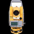
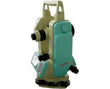
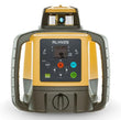
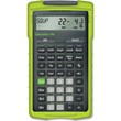
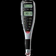
View all productsData collection software provides land surveyors with a wide array of applications for editing, viewing, calculating, managing, and post-processing of survey field data. With advanced applications and simple graphical interfaces, data collector software delivers the power to simplify and speed up data collection and delivery. Its intuitive operation helps you conduct the tasks on your field controller or total station, putting an end to time-wasting operations.
Types of Data Collection Software
Software for data collection helps complete every survey job faster and easier. Whether you are an amateur surveyor or a professional, you can say goodbye to solving land formulas manually because data collector software offers automatic and full control over data collection and stakeout. This includes maps displaying results in real time as you measure. You can choose from variations of layout, field, and office software for data collection.
Basic - For performing simple COGO functions
Pro - For advanced roading and stakeout
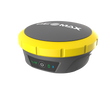
GPS - For RTK surveying
Robotics - For controlling robotic total stations
Complete - For the ultimate surveying experience with basic to advanced features
Data Collector Software Compatibility
Integrating with data collectors, GNSS receivers, total stations, and most office data collection software are compatible with Windows or Mac systems. This allows for seamless transition between your field and office software applications. It helps you organize your measurements from your total station, GPS receiver, and data collector into a single job file. Besides the onboard survey programs, additional survey software applications are available for installation, depending on your needs.
Tiger Supplies offers a wide selection of data collection software from popular brands, such as Ashtech, Spectra, Sokkia, and Topcon.